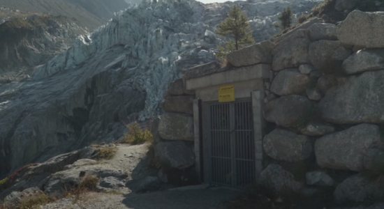
The Argentière water intake is located under the glacier, upstream of a rocky ridge emerging among the columns of glacial ice, from which the Argentière waterfall originates.
Numerous surveys via the rock tunnel and vertical soundings have made it possible to locate the flow in the left bank half of the sub-glacial profile. The survey of the right bank of the sub-glacial profile, initially considered unnecessary, was therefore undertaken during the winter of 1972/1973 with the aim of locating the exact passage of the water on the right bank and to proceed with its capture.

Technical file
| Construction year | 1967-1973 |
| Put into operation | 1975 |
| Municipality | Chamonix |
| Type | Sub-glacial water intake |
| Altitude | 2060m to 2170m. |
| Flow | 10m³/sec |


